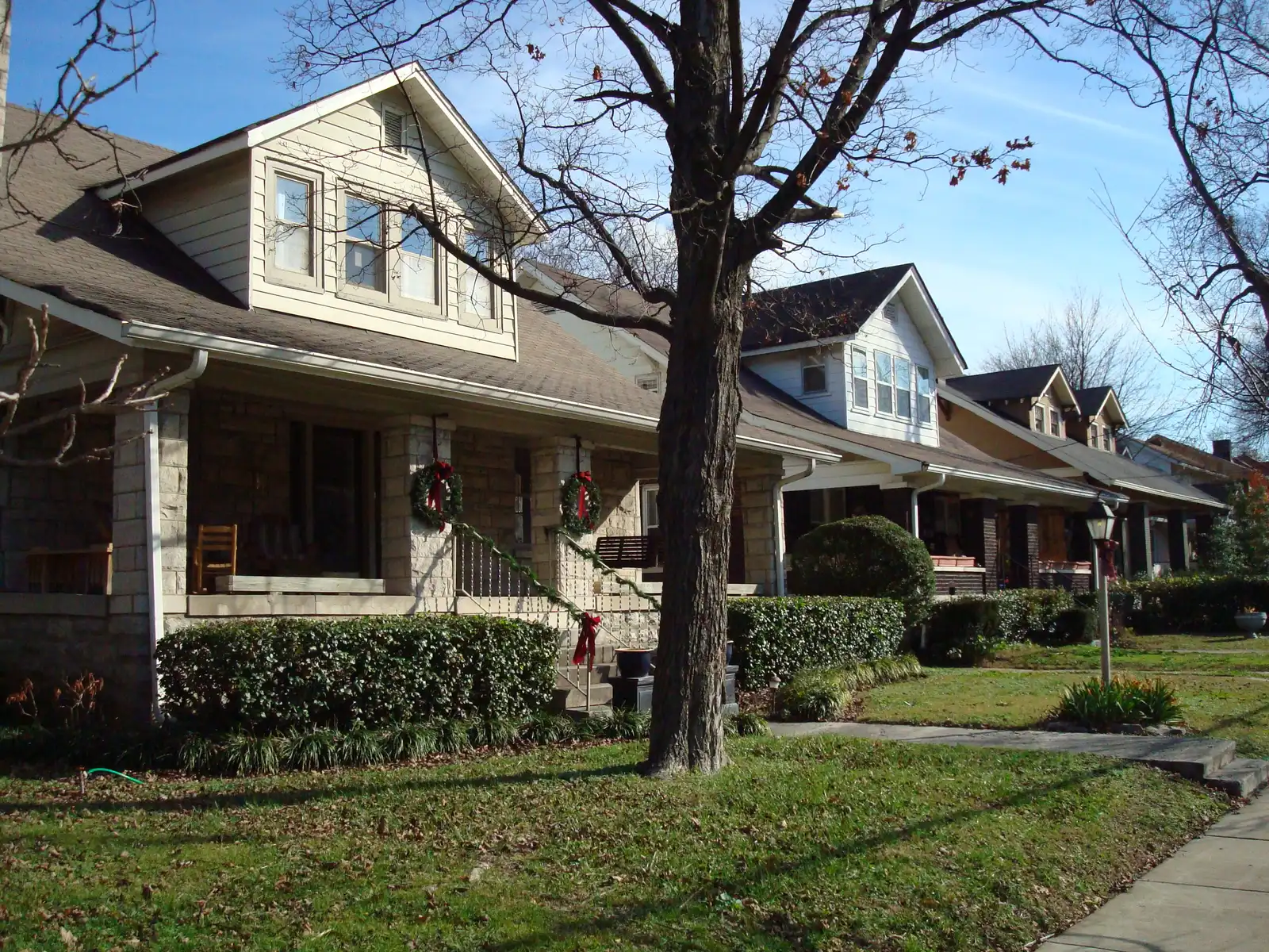
Metro splits Nashville into 14 community plan areas. Our guide covers 12, with their ZIP codes, zoned high schools and Zillow home values for September 2026.
Last checked Oct. 19, 2026. Sources: the Metro Planning Department’s community plans and plan area boundaries, Metro’s ZIP code boundaries, the MNPS zone finder, the Tennessee Department of Education’s 2024-25 letter grades, the Zillow Home Value Index, 2020 Census blocks and OpenStreetMap. Metro Planning: 615-862-7190.
Nashville and Davidson County have been one consolidated government since 1963, so the city covers almost the whole county, from Bellevue in the west to Hermitage in the east. To plan that much ground, the Metro Planning Department divides it into 14 community plan areas, each with its own adopted plan. Those are the areas this guide uses, because they are the only neighborhood lines Metro itself draws and publishes for the whole county.
What this means for you
- Neighborhood names and ZIP codes do not line up. Most areas span three or more ZIP codes, and ZIP codes cross area lines.
- School zones do not follow either. Five of our 12 areas are split between high school zones. Check one address in the MNPS zone finder.
- A few places inside the county are separate cities. Belle Meade, Berry Hill, Forest Hills, Oak Hill and part of Goodlettsville have their own city governments.
How Nashville is laid out
Three interstates meet downtown: I-40 runs east and west, I-65 north and south, and I-24 from the northwest to the southeast. I-440 loops through the inner southwest side and Briley Parkway circles much of the rest. The Cumberland River winds through the middle, which is why East Nashville, Madison and Donelson are “across the river” from downtown.
All public schools in the county are run by Metro Nashville Public Schools, which assigns them by address. Property taxes and trash pickup also depend on where you are: the Urban Services District pays a slightly higher rate and gets Metro trash pickup. See our property taxes and trash and recycling guides.
The areas at a glance
| Area | People (2020) | Main ZIP code | Main zoned high school | Typical value in main ZIP, Sept. 2026 |
|---|---|---|---|---|
| Downtown | 11,700 | 37203 | Pearl-Cohn | $608,496 |
| East Nashville | 62,200 | 37206 | Stratford STEM Magnet (59%) | $607,073 |
| North Nashville | 27,400 | 37208 | Pearl-Cohn | $449,055 |
| West Nashville | 41,700 | 37209 | James Lawson (52%) | $542,777 |
| Green Hills-Midtown | 87,700 | 37215 | Hillsboro | $1,183,640 |
| South Nashville | 34,300 | 37210 | Glencliff | $361,080 |
| Southeast | 117,700 | 37211 | John Overton (61%) | $386,297 |
| Antioch-Priest Lake | 93,100 | 37013 | Antioch (69%) | $352,025 |
| Donelson-Hermitage-Old Hickory | 86,700 | 37076 | McGavock | $397,290 |
| Madison | 48,400 | 37115 | Hunters Lane | $321,246 |
| Bellevue | 50,700 | 37221 | James Lawson | $496,390 |
| Bordeaux-Whites Creek | 28,300 | 37218 | Whites Creek | $354,420 |
People: our count of 2020 Census blocks inside each Metro plan line, satellite cities included. Main ZIP code: the one with the most residents. High school: from a public copy of MNPS’s 2025-26 high school zone map, with the share shown where the area is split. Typical value: the Zillow Home Value Index (Zillow Research), a modeled value for the middle third of homes, not a sale price. The city of Nashville’s typical value was $425,889 in September 2026. More in our home prices guide and schools guide.
The areas, one by one
Downtown. About 1,780 acres inside the interstate loop, split by Metro into 15 neighborhoods such as the Gulch, SoBro, Rutledge Hill and the East Bank. Mostly condominiums and apartments; nearly all residents are zoned for Pearl-Cohn High.
East Nashville. From the river to Briley Parkway, about 21 square miles of historic neighborhoods such as Edgefield, Lockeland Springs and Inglewood, plus Shelby Park and Shelby Bottoms. Split between the Stratford and Maplewood zones.
North Nashville. About 8 square miles next to downtown, home to Tennessee State, Fisk and Meharry, Germantown and the Jefferson Street corridor.
West Nashville. Sylvan Park, The Nations and Charlotte Pike in the east, West Meade and Hillwood in the south, with Belle Meade as a separate city inside.
Green Hills-Midtown. Vanderbilt, Belmont, Music Row, Hillsboro Village and Green Hills, down to Radnor Lake and the Williamson County line.
South Nashville. Wedgewood-Houston, Chestnut Hill and Woodbine, the Fairgrounds and 100 Oaks, along Nolensville and Murfreesboro pikes.
Southeast. Crieve Hall, Tusculum, Paragon Mills, Lenox Village and Cane Ridge, between I-65 and I-24. The most residents of any area.
Antioch-Priest Lake. About 59 square miles from I-24 to Percy Priest Lake, including Una, Mt. View and the Global Mall/Crossings area. Closest to the airport.
Donelson-Hermitage-Old Hickory. The eastern end of the county, with Music Valley, Two Rivers Park and the WeGo Star line.
Madison. Gallatin Pike from Briley Parkway to RiverGate, with Peeler Park on the river. Includes the Davidson County part of Goodlettsville.
Bellevue. About 74 square miles of hills and Harpeth River valley along I-40 in the far west, next to Edwin Warner Park.
Bordeaux-Whites Creek. Suburban Bordeaux along Clarksville Pike and the rural Whites Creek, Bells Bend and Scottsboro communities, with Beaman Park.
Metro’s two other plan areas are mostly rural and are not covered here yet: Joelton, in the far northwest, with about 5,400 residents in 2020, and Parkwood-Union Hill, in the north of the county, with about 20,600.
Comparing Nashville with its neighbors
Thinking about a nearby city instead? Our Nashville vs Goodlettsville vs Brentwood vs Hendersonville guide compares tax rates, schools, home values and commutes from official figures. See also moving to Nashville, getting around and parks and trails.
How we built this
We used the area lines Metro’s Planning Department draws for its 14 community plans, from Metro’s open data layer, and took each area’s boundaries, neighborhood names and centers from its adopted plan. We counted residents and homes from 2020 Census blocks inside each line, and used those counts to find each area’s ZIP code and high school zone shares, with ZIP code lines from Metro and high school zones from a public copy of MNPS’s 2025-26 map. Grades are from the Tennessee Department of Education, home values from Zillow, parks from Metro Parks, bus routes from WeGo Public Transit’s schedule data, and stores, exit numbers and road distances from OpenStreetMap. We named only places that Metro’s plans, Metro’s maps or OpenStreetMap name.
Map data © OpenStreetMap contributors. Plan area boundaries, ZIP codes and parks: Metro Nashville. School zones: Metro Nashville Public Schools. Population counts: U.S. Census Bureau, 2020 Census.
Frequently asked questions
What are the main areas of Nashville?
Metro’s Planning Department divides Nashville and Davidson County into 14 community plan areas: Downtown, East Nashville, North Nashville, West Nashville, Green Hills-Midtown, South Nashville, Southeast, Antioch-Priest Lake, Donelson-Hermitage-Old Hickory, Madison, Bellevue, Bordeaux-Whites Creek, Joelton and Parkwood-Union Hill.
Which part of Nashville has the most people?
Southeast, with about 117,700 residents at the 2020 census by our count of Census blocks, followed by Antioch-Priest Lake with about 93,100.
Do Nashville school zones follow neighborhood lines?
No. Metro Nashville Public Schools draws its own zones, and several areas are split between two or three high schools. Check a single address in the MNPS zone finder at zonefinder.mnps.org.
Which Nashville ZIP code has the highest home values?
Of the ZIP codes in our guide, 37215 in Green Hills had the highest Zillow typical value, $1,183,640 in September 2026. ZIP code 37115 in Madison had the lowest, $321,246.
Have your say