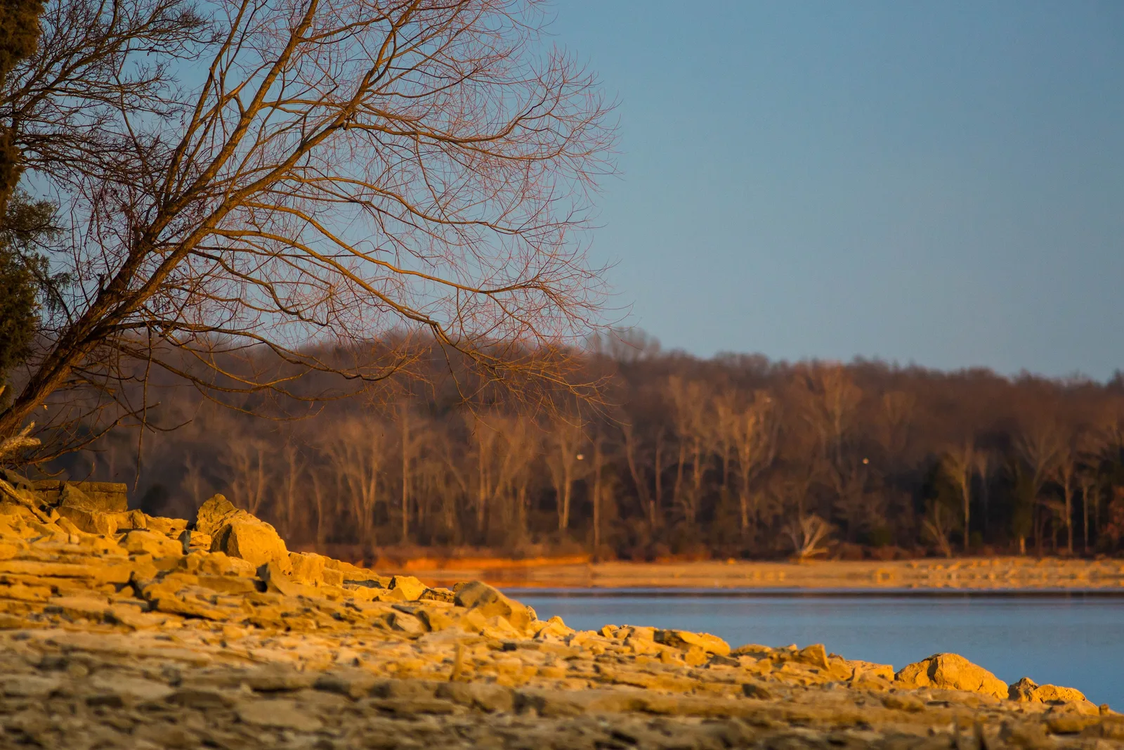
Antioch-Priest Lake runs from I-24 to Percy Priest Lake. About 93,100 people lived there in 2020; Zillow's 37013 value was $352,025 in September 2026.
Last checked Oct. 19, 2026. Sources: the Metro Planning Department’s Antioch-Priest Lake Community Plan page, the Antioch-Priest Lake Community Plan, adopted Aug. 24, 2017 (PDF), Metro’s community planning area boundaries, park locations and ZIP code boundaries, the MNPS zone finder, the Tennessee Department of Education’s 2024-25 letter grades, the Zillow Home Value Index, WeGo Public Transit’s schedule data, 2020 Census blocks and OpenStreetMap. Metro Planning: 615-862-7190.
Antioch-Priest Lake is Metro’s name for the southeast corner of Davidson County between I-24 and Percy Priest Lake. It is one of the 14 community plan areas the Metro Planning Department uses, about 59 square miles. About 93,100 people lived inside the line at the 2020 census, in about 36,000 homes, by our count of Census blocks.
What this means for you
- High school: about 69% of residents are zoned for Antioch High, 23% for Cane Ridge High and 9% for Glencliff High.
- Home value: Zillow’s typical value in ZIP code 37013 was $352,025 in September 2026.
- Interstate: I-24 Exit 59 (Bell Road) and Exit 60 (Hickory Hollow Parkway) are each about 2.4 miles from the population center.
Where it is
The community plan describes the area as spanning from I-24 on the west to Percy Priest Lake on the east, and from the airport on the north to the Davidson County line on the south. It calls the area mostly suburban, with rural neighborhoods near the lake and industrial and commercial land along its corridors and at the Crossings.
The plan takes its name from the neighborhoods that grew from the heart of Antioch, which began around a church beside Mill Creek in the early 1800s, and those near the lake. It lists the larger neighborhoods of Una, Mt. View, Cane Ridge, Tusculum and Bakertown. OpenStreetMap also marks Nashboro Village, Smith Springs and Priest Lake Park as named places.
The plan’s main center is the Global Mall/Crossings area along Bell Road, where it says Nashville State Community College has a campus and Metro built a library, park and community center. A second center is at Murfreesboro Road and Bell Road. By 2020 Census block counts, about 70% of residents live in ZIP code 37013 and 27% in 37217.
Schools
Metro Nashville Public Schools assigns schools by address. In a public copy of the district’s 2025-26 high school zone map:
| High school | Address | Share of residents zoned | 2024-25 state grade |
|---|---|---|---|
| Antioch High | 1900 Hobson Pike | 69% | C |
| Cane Ridge High | 12848 Old Hickory Blvd. | 23% | F |
| Glencliff High | 160 Antioch Pike | 9% | D |
Elementary and middle school zones change from street to street; check one address in the MNPS zone finder. Grades are from the Tennessee Department of Education’s 2024-25 A-F letter grade file. More in our schools guide.
Home values
According to the Zillow Home Value Index (Zillow Research):
| Area | September 2026 | September 2025 | Change |
|---|---|---|---|
| ZIP code 37013 | $352,025 | $362,994 | -3.0% |
| ZIP code 37217 | $315,884 | $326,417 | -3.2% |
| City of Nashville | $425,889 | $436,922 | -2.5% |
ZIP code 37013 also covers Cane Ridge in Metro’s Southeast plan area. The index is a modeled typical value for the middle third of homes, not a sale price. More in our home prices guide.
Parks and trails
From Metro Parks’ park locations:
- Long Hunter State Park, about 2,926 acres, 2910 Hobson Pike, run by the state on the lake.
- Mill Ridge Southeast Regional Park, about 622 acres, 12847 Old Hickory Blvd.
- Hamilton Creek Park, about 381 acres, 2901 Bell Road, with boating and mountain bike trails.
- Ezell Road Park, about 80 acres, 5135 Harding Place.
- Seven Oaks Park, about 76 acres, 3474 McGavock Pike.
- Una Recreation Park, 134 Una Recreation Road.
Metro’s greenway map shows the Mill Creek Greenway in the area. See our parks and trails guide.
Getting around
- Interstates: from the population center, I-24 Exit 59 (Bell Road) and Exit 60 (Hickory Hollow Parkway) are each about 2.4 miles and Exit 57 (Haywood Lane) about 2.9 miles, as the crow flies, per OpenStreetMap exit numbers. I-24 Exit 62 (Old Hickory Boulevard) serves the south end and I-40 Exit 216 (the airport and Donelson Pike) the north end.
- Distances: about 11.6 miles by road to the Metro Courthouse on Public Square and 4.6 miles to Nashville International Airport (BNA), measured on the OpenStreetMap road network. These are distances, not drive times.
- Buses: in WeGo Public Transit’s current schedule data, routes 18 Airport, 52 Nolensville Pike, 55 Murfreesboro Pike and 77 Thompson-Wedgewood stop in the area, with the 84 Murfreesboro commuter express. Maps are on WeGo’s bus page.
Groceries and everyday stores
From OpenStreetMap:
- Kroger on Murfreesboro Pike and Mount View Road.
- Publix on Murfreesboro Pike.
- Walmart Supercenter on Hamilton Church Road.
- ALDI on Ransom Place.
More neighborhoods
Antioch-Priest Lake is one of the areas in our Nashville neighborhoods guide. Next door: Southeast across I-24, South Nashville to the northwest and Donelson-Hermitage-Old Hickory to the north.
Map data © OpenStreetMap contributors. Plan area boundaries, ZIP codes and parks: Metro Nashville. School zones: Metro Nashville Public Schools. Population and housing counts: U.S. Census Bureau, 2020 Census.
Frequently asked questions
What area does Antioch-Priest Lake cover?
Metro’s Antioch-Priest Lake Community Plan covers about 59 square miles, from I-24 on the west to Percy Priest Lake on the east and from the airport on the north to the Davidson County line on the south.
What high schools serve Antioch?
In MNPS’s 2025-26 zones, about 69% of Antioch-Priest Lake residents are zoned for Antioch High (a C on the state’s 2024-25 letter grades), 23% for Cane Ridge High (an F) and 9% for Glencliff High (a D).
What is the typical home value in Antioch, Tennessee?
Zillow’s typical value was $352,025 in ZIP code 37013 and $315,884 in 37217 in September 2026, each down about 3% in a year, according to the Zillow Home Value Index.
Is Antioch part of Nashville?
Yes. Antioch is inside Metro Nashville and Davidson County, and Metro plans it as part of its Antioch-Priest Lake community. Metro’s ZIP code map lists Antioch as the post office name for 37013.
Have your say