South Nashville runs from Wedgewood-Houston to the Nashville Zoo. About 34,300 people lived there in 2020; nearly all are zoned for Glencliff High.
Last checked Oct. 19, 2026. Sources: the Metro Planning Department’s South Nashville Community Plan page, the South Nashville Community Plan, adopted Aug. 24, 2017 (PDF), Metro’s community planning area boundaries and park locations, the MNPS zone finder, the Tennessee Department of Education’s 2024-25 letter grades, the Zillow Home Value Index, WeGo Public Transit’s schedule data, 2020 Census blocks and OpenStreetMap. Metro Planning: 615-862-7190.
South Nashville starts at the southern edge of downtown. It is one of the 14 community plan areas the Metro Planning Department uses, about 15.3 square miles; only Downtown and North Nashville are smaller. About 34,300 people lived inside the line at the 2020 census, in about 15,900 homes, by our count of Census blocks.
What this means for you
- High school: about 98% of residents are zoned for Glencliff High.
- Home value: Zillow’s typical value in ZIP code 37211 was $386,297 in September 2026.
- Interstate: I-440 Exit 6 (Nolensville Pike) and I-24 Exit 52 (Murfreesboro Road) are each about 0.6 mile from the population center.
Where it is
The community plan describes the area as running from the southern edge of downtown about five miles south to the Nashville Zoo at Grassmere, and from I-65 east to the Donelson, airport and Antioch areas. CSX rail lines and I-40, I-24 and I-440 cut through it. Its main roads are Nolensville Pike, Murfreesboro Pike and Thompson Lane.
The plan names its neighborhoods as Chestnut Hill, Glencliff, Glencliff Estates, Hill-n-Dale, Napier, Patricia Heights, Radnor, Raymond Heights, Wedgewood-Houston, Woodbine and Woodycrest. It also lists the Adventure Science Center, The Fairgrounds Nashville, Trevecca Nazarene University, 100 Oaks and the City Cemetery. The plan says 61% of the land was in nonresidential use in 2015, mostly in the northern and western sections.
Most of Berry Hill, a satellite city with its own planning and zoning, is inside the area. By 2020 Census block counts, about 37% of residents live in ZIP code 37210, 35% in 37211 and 21% in 37217.
Schools
Metro Nashville Public Schools assigns schools by address. In a public copy of the district’s 2025-26 high school zone map, about 98% of residents are in one zone:
| High school | Address | 2024-25 state grade |
|---|---|---|
| Glencliff High | 160 Antioch Pike | D |
Elementary and middle school zones change from street to street; check one address in the MNPS zone finder. Grades are from the Tennessee Department of Education’s 2024-25 A-F letter grade file. More in our schools guide.
Home values
According to the Zillow Home Value Index (Zillow Research):
| Area | September 2026 | September 2025 | Change |
|---|---|---|---|
| ZIP code 37210 | $361,080 | $370,084 | -2.4% |
| ZIP code 37211 | $386,297 | $398,317 | -3.0% |
| ZIP code 37217 | $315,884 | $326,417 | -3.2% |
| City of Nashville | $425,889 | $436,922 | -2.5% |
ZIP codes 37211 and 37217 reach well beyond South Nashville, into the Southeast and Antioch areas. The index is a modeled typical value for the middle third of homes, not a sale price. More in our home prices guide.
Parks and trails
From Metro Parks’ park locations:
- Whitsett Park, about 63 acres, 355 Wimpole Drive.
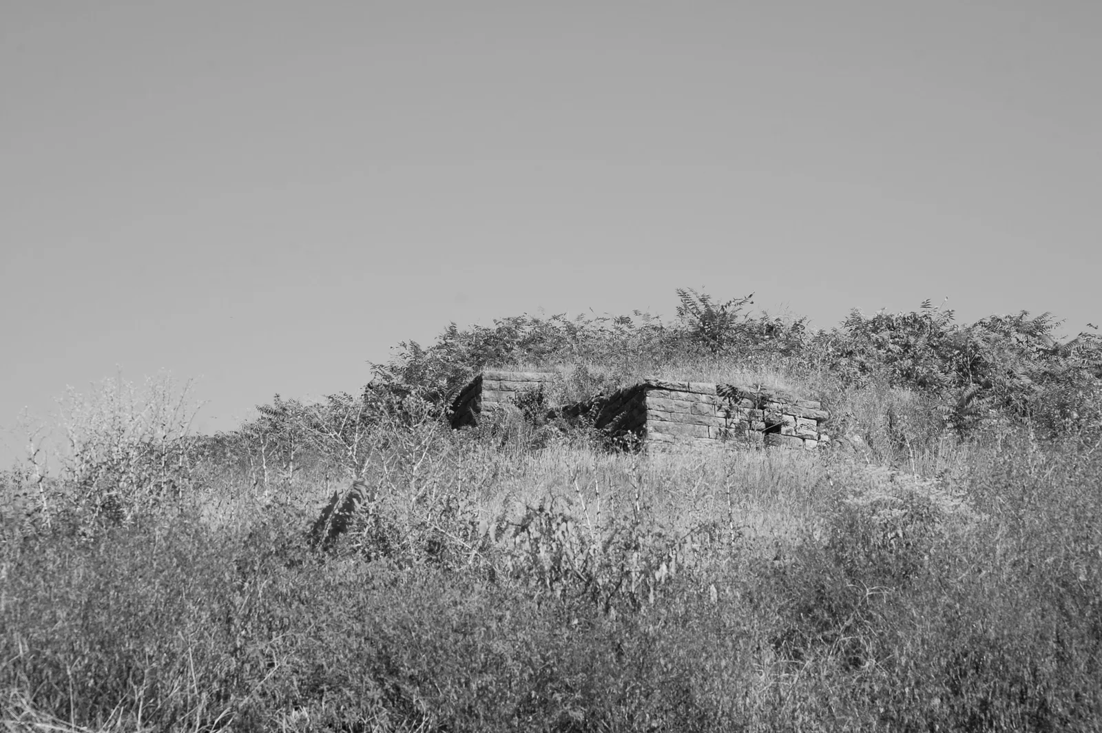
- Fort Negley, about 57 acres, 1100 Fort Negley Blvd., a Civil War fort site.
- Fair Park, about 20 acres, 300 Rains Ave., by the Fairgrounds.
- City Cemetery, 401 Oak St.
- William Coleman Park, 384 Thompson Lane; Dudley Park, 305 Chestnut St.; and J.C. Napier Park, 73 Fairfield Ave.
Metro’s greenway map shows the Browns Creek Greenway and Mill Creek Greenway in the area. See our parks and trails guide.
Getting around
- Interstates: from the population center, I-440 Exit 6 (Nolensville Pike) and I-24 Exit 52 (Murfreesboro Road) are each about 0.6 mile, as the crow flies, per OpenStreetMap exit numbers. I-65 Exit 81 (Wedgewood Avenue) is on the west edge and I-24/I-40 Exit 212 (Hermitage Avenue) on the north end.
- Distances: about 4.3 miles by road to the Metro Courthouse on Public Square and 6.1 miles to Nashville International Airport (BNA), measured on the OpenStreetMap road network. These are distances, not drive times.
- Buses: in WeGo Public Transit’s current schedule data, routes 6 Lebanon Pike, 8 8th Avenue South, 18 Airport, 52 Nolensville Pike, 55 Murfreesboro Pike, 75 Midtown and 77 Thompson-Wedgewood stop in the area, with commuter express routes 84 Murfreesboro and 86 Smyrna-La Vergne. Maps are on WeGo’s bus page.
Groceries and everyday stores
From OpenStreetMap:
- Kroger on East Thompson Lane and Walmart Supercenter on Powell Avenue.
- InterAsian Market & Deli and Tara International Market on Nolensville Pike.
- El Gallito Supermercado on Foster Avenue and Aleksey’s Russian & Eastern European Market on Thompson Lane.
- Walgreens on Thompson Lane.
More neighborhoods
South Nashville is one of the areas in our Nashville neighborhoods guide. Next door: Downtown to the north, Southeast to the south, Antioch-Priest Lake to the southeast and Green Hills-Midtown across I-65.
Map data © OpenStreetMap contributors. Plan area boundaries and parks: Metro Nashville. School zones: Metro Nashville Public Schools. Population and housing counts: U.S. Census Bureau, 2020 Census.
Frequently asked questions
What neighborhoods are in South Nashville?
Metro’s South Nashville Community Plan names Chestnut Hill, Glencliff, Glencliff Estates, Hill-n-Dale, Napier, Patricia Heights, Radnor, Raymond Heights, Wedgewood-Houston, Woodbine and Woodycrest, plus most of the city of Berry Hill.
What high school is South Nashville zoned for?
In MNPS’s 2025-26 zones, about 98% of residents are zoned for Glencliff High, 160 Antioch Pike, which earned a D in Tennessee’s 2024-25 letter grades.
What is the typical home value in South Nashville?
Zillow’s typical value was $361,080 in ZIP code 37210, $386,297 in 37211 and $315,884 in 37217 in September 2026, according to the Zillow Home Value Index.
How far is South Nashville from the airport?
About 6.1 miles by road from the area’s population center to Nashville International Airport, measured on the OpenStreetMap road network. That is a distance, not a drive time.
Have your say