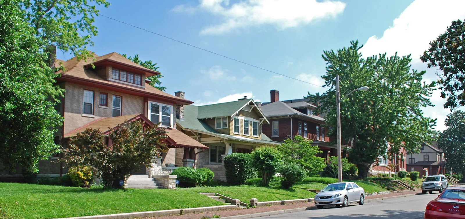
East Nashville runs from the Cumberland River to Briley Parkway. About 62,200 people lived there in 2020; Zillow's 37206 value was $607,073 in September 2026.
Last checked Oct. 19, 2026. Sources: the Metro Planning Department’s East Nashville Community Plan page, the East Nashville Community Plan, adopted Aug. 24, 2017 (PDF), Metro’s community planning area boundaries and park locations, the MNPS zone finder, the Tennessee Department of Education’s 2024-25 letter grades, the Zillow Home Value Index, WeGo Public Transit’s schedule data, 2020 Census blocks and OpenStreetMap. Metro Planning: 615-862-7190.
East Nashville sits across the Cumberland River from downtown. It is one of the 14 community plan areas the Metro Planning Department uses, and the plan says it reaches beyond the area people have traditionally called East Nashville. It covers about 21 square miles. About 62,200 people lived inside the line at the 2020 census, in about 30,500 homes, by our count of Census blocks.
What this means for you
- High school: about 59% of residents are zoned for Stratford STEM Magnet and 41% for Maplewood High.
- Home value: Zillow’s typical value in ZIP code 37206 was $607,073 in September 2026.
- Interstate: I-24 Exit 47 (North 1st Street and Jefferson Street) and I-24/I-65 Exit 87 (Trinity Lane) are each about 2 miles from the population center.
Where it is
The community plan puts the boundaries at I-24/I-40, the Cumberland River and I-65 on the west, Briley Parkway on the north and the Cumberland River on the east and south. Three main roads run north and south through it: Dickerson Pike, Main Street/Gallatin Pike and Ellington Parkway.
The plan names the neighborhoods inside the historic East Nashville boundary as Cayce, East End, Eastwood, Historic Edgefield, Greenwood, Lockeland Springs, Maxwell Heights, Rolling Acres and Shelby Hills. The wider plan area adds Capitol View, Cleveland Park, East Hill, Gra-Mar Acres, Highland Heights, Hillhurst, Inglewood, McFerrin Park, Renraw, Rosebank and South Inglewood. It points to Five Points and the Main Street/Gallatin Pike corridor as the area’s mixed-use centers.
By 2020 Census block counts, about 44% of residents live in ZIP code 37206, 29% in 37216 and 26% in 37207.
Schools
Metro Nashville Public Schools assigns schools by address. In a public copy of the district’s 2025-26 high school zone map:
| High school | Address | Share of residents zoned | 2024-25 state grade |
|---|---|---|---|
| Stratford STEM Magnet | 1800 Stratford Ave. | 59% | C |
| Maplewood High | 401 Walton Lane | 41% | D |
Elementary and middle school zones change from street to street; check one address in the MNPS zone finder. Grades are from the Tennessee Department of Education’s 2024-25 A-F letter grade file. More in our schools guide.
Home values
According to the Zillow Home Value Index (Zillow Research):
| Area | September 2026 | September 2025 | Change |
|---|---|---|---|
| ZIP code 37206 | $607,073 | $610,870 | -0.6% |
| ZIP code 37216 | $491,430 | $498,828 | -1.5% |
| ZIP code 37207 | $368,302 | $380,767 | -3.3% |
| City of Nashville | $425,889 | $436,922 | -2.5% |
ZIP code 37207 also covers areas north of Briley Parkway. The index is a modeled typical value for the middle third of homes, not a sale price. More in our home prices guide.
Parks and trails
From Metro Parks’ park locations:
- Shelby Bottoms Park, about 950 acres, 1900 Davidson St., and Shelby Park, about 343 acres, at South 20th Street and Shelby Avenue. The plan counts them as a combined 1,296 acres along three miles of river.
- Frederick Douglass Park, about 32 acres, 210 N. 7th St.
- Cleveland Park, about 18 acres, 925 N. 6th St.
- South Inglewood Park, about 19 acres, 1624 Moore St.
- McFerrin Park, 301 Berry St., and East Park, 700 Woodland St.
Metro’s greenway map shows the Shelby Bottoms Greenway, the Cumberland River Greenway and the Ben Allen Greenway in the area. See our parks and trails guide.
Getting around
- Interstates: from the population center, I-24/I-65 Exit 87 (Trinity Lane) is about 1.9 miles and I-24 Exit 47 (North 1st Street and Jefferson Street) about 2 miles, as the crow flies, per OpenStreetMap exit numbers. Ellington Parkway runs through the middle and Briley Parkway along the north edge.
- Distances: about 3.5 miles by road to the Metro Courthouse on Public Square and 12.1 miles to Nashville International Airport (BNA), measured on the OpenStreetMap road network. These are distances, not drive times.
- Buses: in WeGo Public Transit’s current schedule data, routes 4 Shelby, 23 Dickerson Pike, 28 Meridian, 41 Golden Valley, 56 Gallatin Pike and 71 Trinity stop in the area, with 14 Whites Creek, 34 Opry Mills and the 87 Gallatin-Hendersonville express. Maps are on WeGo’s bus page.
Groceries and everyday stores
From OpenStreetMap:
- Kroger on Gallatin Avenue and Gallatin Pike; Publix and ALDI on Gallatin Avenue.
- The Turnip Truck Natural Market on Woodland Street.
- Piggly Wiggly on Dickerson Pike.
- CVS Pharmacy on Gallatin Avenue, Walgreens on Gallatin Pike and Riverside Village Pharmacy on McGavock Pike.
More neighborhoods
East Nashville is one of the areas in our Nashville neighborhoods guide. Next door: Downtown across the river, Madison to the northeast and Donelson-Hermitage-Old Hickory across the river to the east.
Map data © OpenStreetMap contributors. Plan area boundaries and parks: Metro Nashville. School zones: Metro Nashville Public Schools. Population and housing counts: U.S. Census Bureau, 2020 Census.
Frequently asked questions
What are the boundaries of East Nashville?
Metro’s East Nashville Community Plan is bounded by I-24/I-40, the Cumberland River and I-65 on the west, Briley Parkway on the north and the Cumberland River on the east and south. It covers about 21 square miles.
What high schools serve East Nashville?
In MNPS’s 2025-26 zones, about 59% of residents are zoned for Stratford STEM Magnet (a C on the state’s 2024-25 letter grades) and 41% for Maplewood High (a D). Check one address in the MNPS zone finder.
What is the typical home value in East Nashville?
Zillow’s typical value was $607,073 in ZIP code 37206, $491,430 in 37216 and $368,302 in 37207 in September 2026, according to the Zillow Home Value Index.
What parks are in East Nashville?
Shelby Park and Shelby Bottoms, about 1,290 acres together, plus Frederick Douglass, Cleveland, McFerrin, East and South Inglewood parks, according to Metro Parks.
Have your say