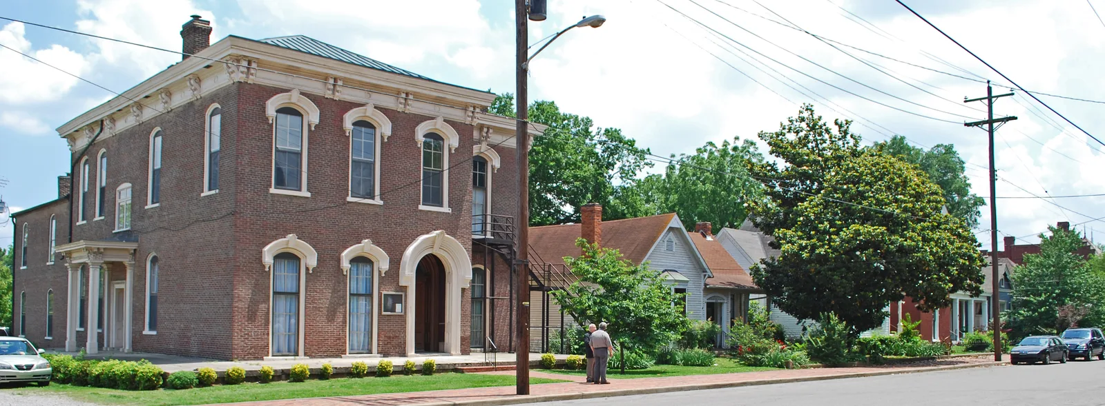
North Nashville covers about 8 square miles next to downtown, home to TSU, Fisk and Meharry. About 27,400 people lived there in 2020, zoned for Pearl-Cohn High.
Last checked Oct. 19, 2026. Sources: the Metro Planning Department’s North Nashville Community Plan page, the North Nashville Community Plan, adopted Aug. 24, 2017 (PDF), Metro’s community planning area boundaries and park locations, the MNPS zone finder, the Tennessee Department of Education’s 2024-25 letter grades, the Zillow Home Value Index, WeGo Public Transit’s schedule data, 2020 Census blocks and OpenStreetMap. Metro Planning: 615-862-7190.
North Nashville sits just northwest of downtown. It is one of the 14 community plan areas the Metro Planning Department uses, and the plan calls it the second smallest by land, about 8 square miles. About 27,400 people lived inside the line at the 2020 census, in about 13,600 homes, by our count of Census blocks.
What this means for you
- High school: all of North Nashville is in the Pearl-Cohn High zone.
- Home value: Zillow’s typical value in ZIP code 37208 was $449,055 in September 2026.
- Interstate: I-40 Exit 207 (28th Avenue) is about 0.6 mile from the population center.
Where it is
The community plan uses the Cumberland River as the boundary on the north and east, and a mix of I-40, Jefferson Street, Charlotte Pike and railroad lines on the west and south. It describes the area as mostly urban and residential, with walkable neighborhoods, commercial corridors and the MetroCenter business area. It names four colleges: Tennessee State University, Fisk University, Meharry Medical College and the Watkins College of Art and Design.
The plan lists the neighborhood associations active in the area, among them Buena Vista, Cass Street, Cheatham Place, Cumberland Gardens, Hadley Park/Clifton, Historic Buena Vista, Historic Germantown, Historic Preston Taylor, John Henry Hale, Osage, Salemtown and Scovel Street.
By 2020 Census block counts, about 68% of residents live in ZIP code 37208, 21% in 37209 and 7% in 37228.
Schools
Metro Nashville Public Schools assigns schools by address. In a public copy of the district’s 2025-26 high school zone map, all of North Nashville falls in one zone:
| High school | Address | 2024-25 state grade |
|---|---|---|
| Pearl-Cohn High | 904 26th Ave. N. | D |
Elementary and middle school zones change from street to street; check one address in the MNPS zone finder. Grades are from the Tennessee Department of Education’s 2024-25 A-F letter grade file. More in our schools guide.
Home values
According to the Zillow Home Value Index (Zillow Research):
| Area | September 2026 | September 2025 | Change |
|---|---|---|---|
| ZIP code 37208 | $449,055 | $460,864 | -2.6% |
| ZIP code 37209 | $542,777 | $550,702 | -1.4% |
| City of Nashville | $425,889 | $436,922 | -2.5% |
ZIP code 37209 also covers much of West Nashville, so its figure is not only North Nashville homes. Zillow publishes no index for 37228. The index is a modeled typical value for the middle third of homes, not a sale price. More in our home prices guide.
Parks and trails
From Metro Parks’ park locations:
- Ted Rhodes Park, about 261 acres with a golf course, 1901 Ed Temple Blvd.
- Buena Vista Park, about 46 acres, 2301 Metro Center Blvd.
- Hadley Park, about 31 acres, 1037 28th Ave. N.
- R.H. Boyd-Preston Taylor Park, 3900 Clifton Ave.
- Watkins Park, 616 17th Ave. N.; Clinton B. Fisk Park, 2410 Burch St.; and Morgan Park, 411 Hume St., in Germantown.
Metro’s greenway map shows the Cumberland River Greenway along the river side of the area. See our parks and trails guide.
Getting around
- Interstates: from the population center, I-40 Exit 207 (28th Avenue) is about 0.6 mile, and I-65 Exit 85 (Rosa L. Parks Boulevard) serves the area’s north side, per OpenStreetMap exit numbers.
- Distances: about 2.4 miles by road to the Metro Courthouse on Public Square and 12.2 miles to Nashville International Airport (BNA), measured on the OpenStreetMap road network. These are distances, not drive times.
- Buses: in WeGo Public Transit’s current schedule data, routes 9 MetroCenter, 19 Herman, 22 Bordeaux, 29 Jefferson, 42 St. Cecilia-Cumberland, 50 Charlotte Pike, 71 Trinity, 75 Midtown and 77 Thompson-Wedgewood stop in the area, with 14 Whites Creek on its edge. Maps are on WeGo’s bus page.
Groceries and everyday stores
OpenStreetMap lists one full supermarket inside the plan line, Kroger on Monroe Street in Germantown. Downtown has a Publix on Dr. Martin Luther King Jr. Boulevard and a Whole Foods Market on Broadway; see the Downtown and West Nashville guides for more.
More neighborhoods
North Nashville is one of the areas in our Nashville neighborhoods guide. Next door: Downtown to the southeast, West Nashville to the west and Bordeaux-Whites Creek across the river.
Map data © OpenStreetMap contributors. Plan area boundaries and parks: Metro Nashville. School zones: Metro Nashville Public Schools. Population and housing counts: U.S. Census Bureau, 2020 Census.
Frequently asked questions
What are the boundaries of North Nashville?
Metro’s North Nashville Community Plan is bounded by the Cumberland River on the north and east, and by I-40, Jefferson Street, Charlotte Pike and railroad lines on the west and south. It covers about 8 square miles.
What high school is North Nashville zoned for?
In MNPS’s 2025-26 zones, all of North Nashville is in the Pearl-Cohn High zone. Pearl-Cohn, 904 26th Ave. N., earned a D in Tennessee’s 2024-25 letter grades.
What is the typical home value in North Nashville?
Zillow’s typical value was $449,055 in ZIP code 37208 and $542,777 in 37209 in September 2026, according to the Zillow Home Value Index.
Which colleges are in North Nashville?
The community plan lists Tennessee State University, Fisk University and Meharry Medical College, plus the Watkins College of Art and Design at the time the plan was adopted in 2017.
Have your say