Bellevue covers about 74 square miles of west Davidson County. About 50,700 people lived there in 2020; Zillow's 37221 value was $496,390 in September 2026.
Last checked Oct. 19, 2026. Sources: the Metro Planning Department’s Bellevue Community Plan page, the Bellevue Community Plan, adopted Aug. 24, 2017 (PDF), Metro’s community planning area boundaries and park locations, the MNPS zone finder, the Tennessee Department of Education’s 2024-25 letter grades, the Zillow Home Value Index, WeGo Public Transit’s schedule data, 2020 Census blocks and OpenStreetMap. Metro Planning: 615-862-7190.
Bellevue is the western end of Davidson County, along I-40 and the Harpeth River. It is one of the 14 community plan areas the Metro Planning Department uses, about 74 square miles, about 13% of the county’s land. About 50,700 people lived inside the line at the 2020 census, in about 24,900 homes, by our count of Census blocks.
What this means for you
- High school: all of Bellevue is in the James Lawson High zone.
- Home value: Zillow’s typical value in ZIP code 37221 was $496,390 in September 2026.
- Interstate: I-40 Exit 196 (U.S. 70 South) is about half a mile from the population center.
Where it is
The community plan puts the boundaries at the Cumberland River on the north, Cheatham County on the west, Williamson County on the south and the West Nashville plan area on the east. I-40 crosses it, and so do the Harpeth River and its tributaries.
The plan says most of the land, 83% in 2015, was suburban and rural residential. The part south of I-40 has grown over the past 40 years; the north, west and southwest stay mostly rural because of steep ground. It names the communities of Bellevue, Centenary, Linton, Newsom Station, Pasquo and White’s Bend. Shopping is along Charlotte Pike, U.S. 70, State Route 100 and Old Hickory Boulevard, including One Bellevue Place on the former Bellevue Mall site. Metro’s River-Trace design overlay sets building standards along Highway 100 from the Harpeth River to the Natchez Trace.
By 2020 Census block counts, about 78% of residents live in ZIP code 37221 and 18% in 37209.
Schools
Metro Nashville Public Schools assigns schools by address. In a public copy of the district’s 2025-26 high school zone map, all of Bellevue is in one zone:
| High school | Address | 2024-25 state grade |
|---|---|---|
| James Lawson High | 8001 Highway 70 S. | D |
The zone map notes that Lawson opened in the 2023-24 school year. Elementary and middle school zones change from street to street; check one address in the MNPS zone finder. Grades are from the Tennessee Department of Education’s 2024-25 A-F letter grade file. More in our schools guide.
Home values
According to the Zillow Home Value Index (Zillow Research):
| Area | September 2026 | September 2025 | Change |
|---|---|---|---|
| ZIP code 37221 | $496,390 | $505,803 | -1.9% |
| ZIP code 37209 | $542,777 | $550,702 | -1.4% |
| City of Nashville | $425,889 | $436,922 | -2.5% |
ZIP code 37209 is mostly in West Nashville and North Nashville, so it says little about Bellevue homes. The index is a modeled typical value for the middle third of homes, not a sale price. More in our home prices guide.
Parks and trails
From Metro Parks’ park locations:
- Edwin Warner Park, about 1,113 acres, 50 Vaughn Road.
- Harpeth River Park, about 70 acres, 7820 Coley Davis Road, with a canoe launch.
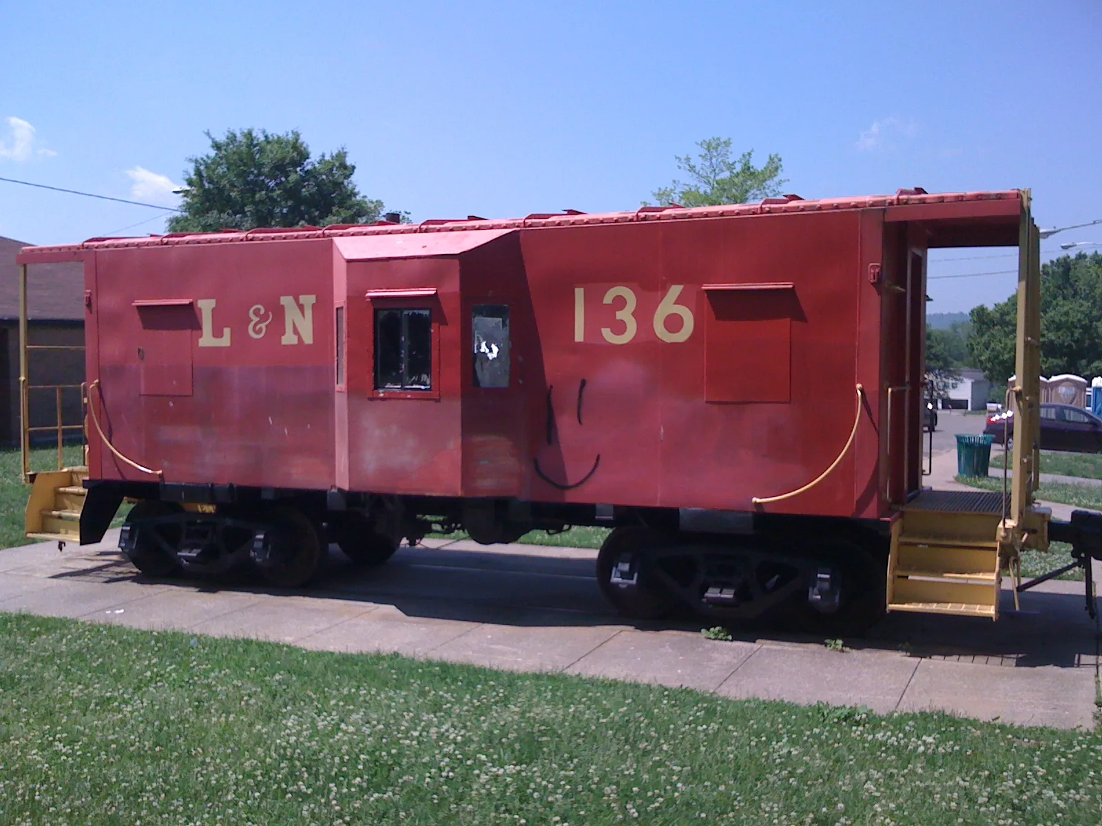
- Red Caboose Park, about 17 acres, 656 Colice Jeanne Road.
- Brookmeade Park, about 14 acres, 7002 Charlotte Pike.
- Harpeth Knoll Park, 708 Goodpasture Terrace, and Newsom’s Mill Historic Site.
- Hidden Lakes State Natural Area, about 90 acres, run by the state.
Metro’s greenway map shows the Harpeth River Greenway and the Cumberland River Greenway in the area. See our parks and trails guide.
Getting around
- Interstates: from the population center, I-40 Exit 196 (U.S. 70 South, Bellevue and Newsom Station) is about 0.5 mile, Exit 199 (Old Hickory Boulevard) about 2.2 miles and Exit 192 (McCrory Lane) about 4 miles, as the crow flies, per OpenStreetMap exit numbers.
- Distances: about 13.8 miles by road to the Metro Courthouse on Public Square and 23.5 miles to Nashville International Airport (BNA), measured on the OpenStreetMap road network. These are distances, not drive times.
- Buses: in WeGo Public Transit’s current schedule data, routes 3 West End, 50 Charlotte Pike and 70 Bellevue stop in the area, with the 88 Dickson commuter express. Maps are on WeGo’s bus page.
Groceries and everyday stores
From OpenStreetMap:
- Publix, Sprouts Farmers Market and ALDI on Highway 70 South, and Kroger on Memphis-Bristol Highway.
- Publix on Highway 100.
- Walmart Supercenter on Charlotte Pike.
- CVS Pharmacy on Highway 70 South.
More neighborhoods
Bellevue is one of the areas in our Nashville neighborhoods guide. Next door: West Nashville to the east and Bordeaux-Whites Creek across the Cumberland River.
Map data © OpenStreetMap contributors. Plan area boundaries and parks: Metro Nashville. School zones: Metro Nashville Public Schools. Population and housing counts: U.S. Census Bureau, 2020 Census.
Frequently asked questions
Is Bellevue part of Nashville?
Yes. Bellevue is inside Metro Nashville and Davidson County and has its own community plan, covering about 74 square miles between the Cumberland River, Cheatham County, Williamson County and West Nashville.
What high school is Bellevue zoned for?
In MNPS’s 2025-26 zones, all of Bellevue is in the James Lawson High zone. Lawson, 8001 Highway 70 S., earned a D in Tennessee’s 2024-25 letter grades.
What is the typical home value in Bellevue, Tennessee?
Zillow’s typical value was $496,390 in ZIP code 37221 in September 2026, down 1.9% in a year, according to the Zillow Home Value Index.
How far is Bellevue from downtown Nashville?
About 13.8 miles by road from Bellevue’s population center to the Metro Courthouse on Public Square, measured on the OpenStreetMap road network. That is a distance, not a drive time.
Have your say