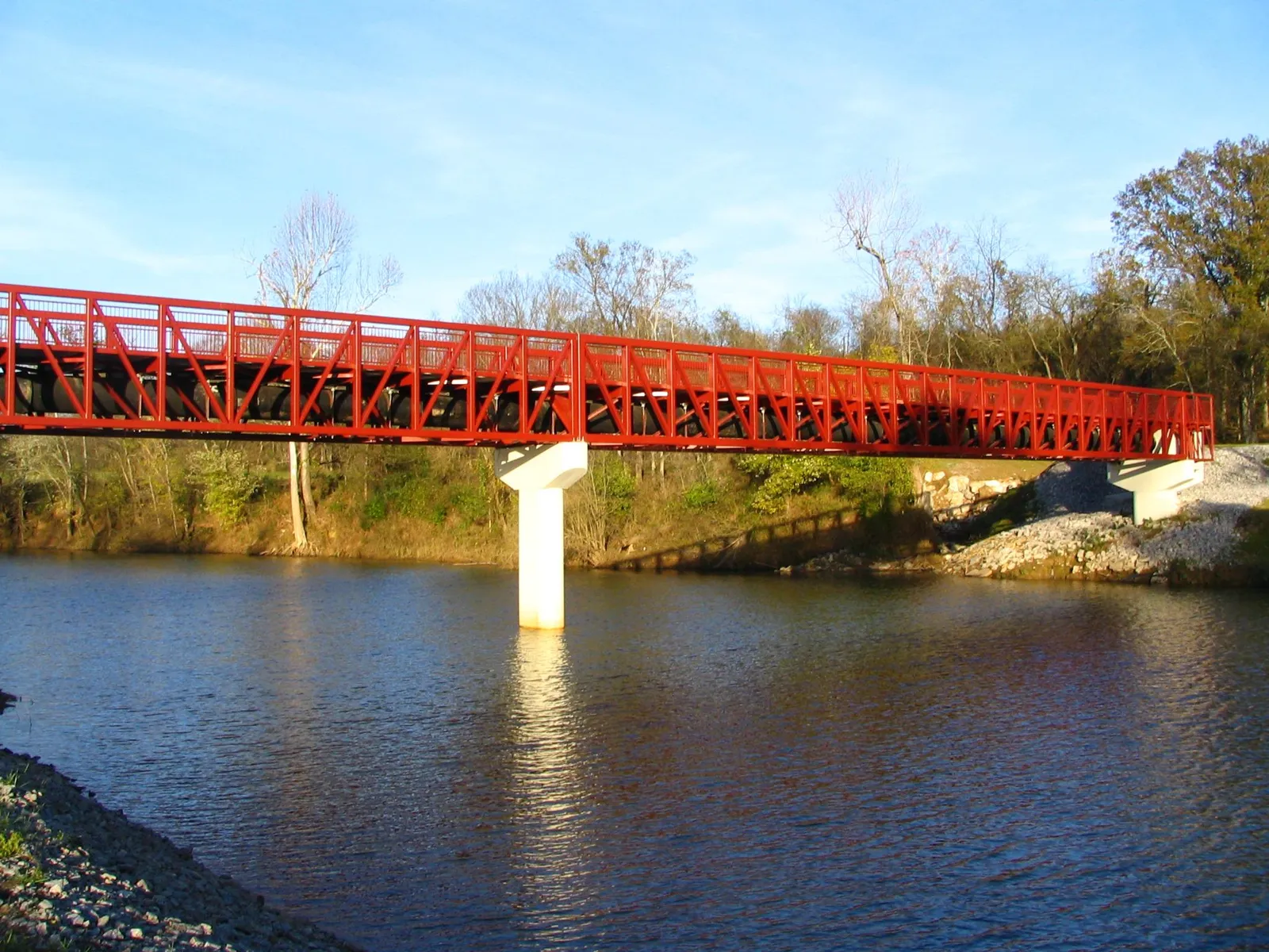
Nashville's greenways by distance: Stones River 10.7 miles, Shelby Bottoms 9.7, Harpeth River 6.4, Richland Creek 4.1. Trailheads, rules and the 99-mile network.
Last checked Oct. 19, 2026. Distances and descriptions come from Greenways for Nashville, the nonprofit friends group of Metro Parks’ greenways division; network totals and rules from Metro Parks’ maps and trails and trail rules pages.
Nashville’s greenway network has more than 99 miles of paved, off-street trails, plus 42 miles of hiking trails and 26 miles of mountain bike trails. The two longest connect across the Cumberland River: the 10.7-mile Stones River Greenway and the 9.7-mile Shelby Bottoms Greenway. Note: the Stones River Greenway boardwalk is closed for damage. Metro Parks: 615-862-8400; Park Police: 615-862-8600.
Trail rules
- Open dawn to dusk. Paved trails are two-way and shared.
- 15 mph maximum; keep right, pass on the left with an audible signal.
- Bikes and skaters yield to pedestrians.
- Pets on a leash no longer than 6 feet.
- No motorized vehicles, alcohol, drugs, horses or hunting. Leave in heavy rain; greenways flood.
Greenways by distance
| Greenway | Miles | Where it runs |
|---|---|---|
| Stones River Greenway | 10.7 | Cumberland River Pedestrian Bridge and Shelby Bottoms to the J. Percy Priest Dam trailhead, through Two Rivers, Heartland, Lytle and Ravenwood parks |
| Shelby Bottoms Greenway | 9.7 | Shelby Park through the 950-acre Shelby Bottoms preserve, past the nature center |
| Harpeth River Greenway | 6.4 | Edwin Warner Park to Morton Mill along the Harpeth, a State Scenic River |
| Richland Creek Greenway at McCabe Park | 4.1 | A loop around McCabe Golf Course, crossing the creek several times |
| Peeler Park Greenway | 3.7 | Peeler Park, 636 acres in Neely’s Bend on the Cumberland |
| Cumberland River Greenway, downtown | 3.4 | MetroCenter to downtown, with spurs to Morgan Park and Bicentennial Capitol Mall State Park |
| Whites Creek Greenway | 2.5 | Hartman Park to Joseph Brown Mullins Park, plus a loop in Mullins Park |
| 440 Greenway | 1.25 | Centennial Park to Elmington Park; first piece of a planned 7-mile corridor along I-440 |
| Mill Creek Greenway at Whitsett Park | 1.2 | Through Whitsett Park, past its playground and picnic areas |
| Gulch Greenway | 1.0 | Downtown, linking Frankie Pierce Park, Capitol View and the Gulch |
| Seven Mile Creek Greenway | 0.6 | Whitfield Park, next to the 259-acre Ellington Agriculture Center |
| East Bank Greenway | 0.48 | Cumberland Park, with its splash pad, along the river past Nissan Stadium |
The long ride: Shelby Bottoms to Percy Priest Dam
Join the Shelby Bottoms Greenway in Shelby Park, follow it through the floodplain preserve past river overlooks and an observation platform, and cross the Cumberland River Pedestrian Bridge to the Stones River Greenway, which runs to the J. Percy Priest Dam trailhead and dog park. Together the two greenways total about 20 miles one way. Connectors reach Hickory Hill, the Donelson-Hermitage YMCA and Stewarts Ferry Pike.
Trailheads
- Shelby Bottoms: Shelby Park and the Shelby Bottoms Nature Center.
- Stones River: J. Percy Priest Dam trailhead (with the Stones River Dog Park, 3778 Bell Road) and Two Rivers Park.
- Harpeth River: two trailheads inside Edwin Warner Park, the Bellevue Exchange Club complex and Harpeth Valley Golf Center.
- Whites Creek: Hartman Park and Mullins Park, both with picnic shelters.
Greenways for Nashville says it has helped Metro Parks build more than 75 trailhead access points along 11 greenway corridors.
Hiking, mountain biking and paddling
- Hiking: the four Metro nature centers (Warner Park, Shelby Bottoms, Beaman Park, Bells Bend) and Radnor Lake State Park have trail maps and guided hikes.
- Mountain biking: 26 miles of unpaved trails; Metro points riders to its mountain bike page and the Southern Off-Road Bicycle Association.
- Paddling: 87 miles of blueways; the Cumberland River Compact’s access map lists put-ins.
- Horseback riding: allowed in two Metro parks, with permits for group rides.
Maps and apps
- Metro’s NashGR app has greenway maps.
- Greenways for Nashville keeps the map catalog and closure updates.
- B-cycle bike rental kiosks are at 16 greenway trailheads.
What this means for you
- Families: Shelby Park, at the start of the relatively flat Shelby Bottoms Greenway, has playgrounds, and the Mill Creek Greenway passes Whitsett Park’s playground.
- Dog walkers: 6-foot leashes on every greenway; see dog-friendly Nashville.
Related guides: parks and trails, getting around, free things to do and kids’ activities.
Frequently asked questions
What is the longest greenway in Nashville?
The Stones River Greenway, 10.7 miles from the Cumberland River Pedestrian Bridge and Shelby Bottoms to the J. Percy Priest Dam trailhead. It joins the 9.7-mile Shelby Bottoms Greenway across the pedestrian bridge.
How many miles of greenways does Nashville have?
Metro Parks lists more than 99 miles of paved, off-street greenway trails, plus 42 miles of unpaved hiking trails, 26 miles of mountain bike trails, 17 miles of horse trails and 87 miles of paddling blueways.
What are the rules on Nashville greenways?
Greenways are open dawn to dusk. The speed limit is 15 mph, bikes and skaters yield to people on foot, pets must be on a leash no longer than 6 feet, and motorized vehicles, alcohol and horses are not allowed.
Can I rent a bike on a Nashville greenway?
Yes. Metro says B-cycle bike rental kiosks are at 16 greenway trailheads, among others around the city.
Is the Stones River Greenway boardwalk open?
Greenways for Nashville reports that the Stones River Greenway boardwalk is closed because of damage. Check its site for the latest closure updates before you go.
Have your say